Winter Storm Fern batters U.S., triggering thousands of flight cancellations and emergency declarations
A powerful winter system dubbed Winter Storm Fern is sweeping across the United States, bringing heavy snow, dangerous ice and bitter cold. Authorities in multiple states have issued emergency declarations as travel snarls mount and airlines cancel large numbers of flights.
A multi-day storm hits during a peak travel window
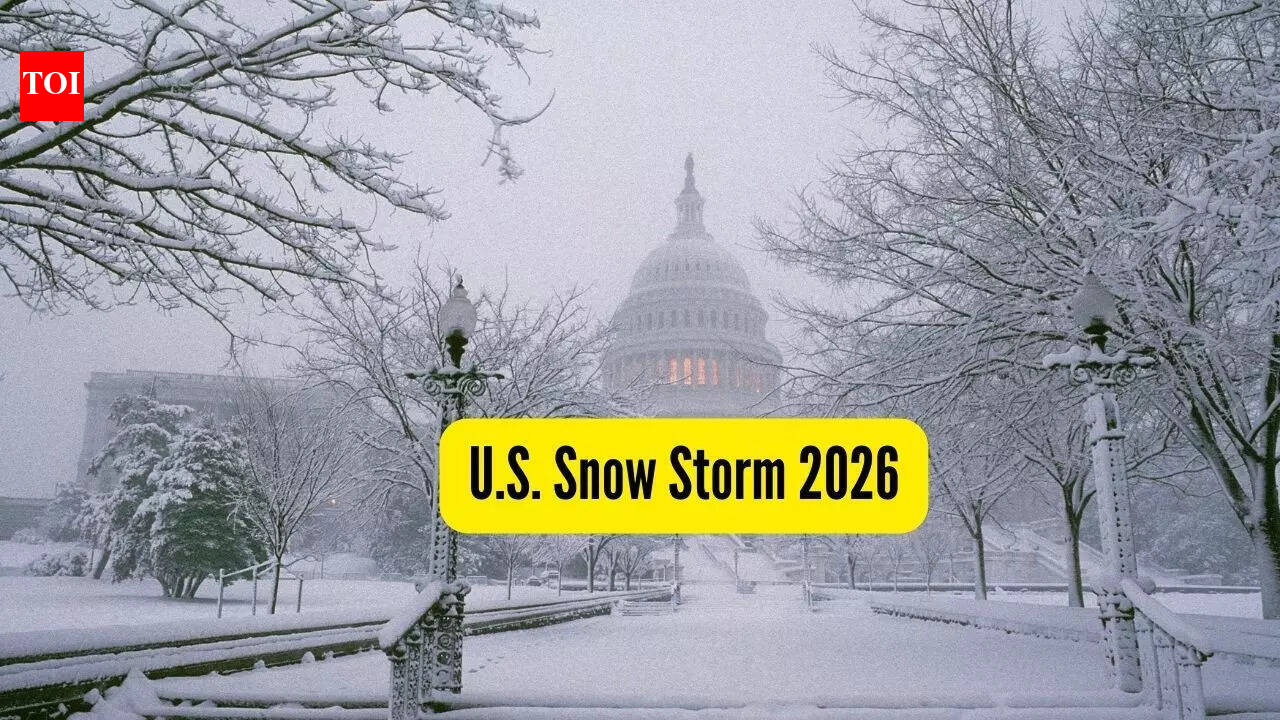
A major winter storm, widely referred to as Winter Storm Fern, is moving across large parts of the United States from January 23 through January 26, 2026, delivering a mix of heavy snowfall, hazardous ice and sharply colder Arctic air. Forecasts cited in travel advisories describe widespread impacts spanning from the Southern Plains through the Midwest and into the Northeast, with some areas expecting icing severe enough to down trees and power lines and make roads nearly impassable. The timing has amplified disruption as weekend and early-week travel demand collides with rapidly deteriorating conditions.
Air travel has been among the first sectors to feel the impact. Airlines have cancelled large numbers of flights as airports confront de-icing backlogs, reduced runway capacity, and cascading delays. Reports circulating during the weekend put cancellations above 10,000, reflecting both preemptive airline decisions and knock-on effects from crew and aircraft positioning problems. Travelers have been urged to check airline alerts frequently, rebook early when possible, and prepare for extended waits as airports and carriers work to recover schedules.
Emergency declarations and public safety warnings
State and local officials have issued emergency declarations across a broad swath of the country, emphasizing that the storm’s most dangerous phase may include rapid temperature drops and icy precipitation. Emergency managers have urged residents to limit driving, keep emergency kits in vehicles, and plan for possible power outages—especially in areas expecting significant freezing rain. Authorities have also warned that even small changes in storm track can shift the worst impacts, turning an expected snow event into a high-ice scenario that is harder to treat on roads.
Beyond travel, the storm is expected to stress utilities and municipal services, from plowing operations to shelter capacity in communities where dangerously cold temperatures could pose health risks to vulnerable populations. As the system continues east, forecasters have advised residents to monitor local bulletins for updated snowfall and ice projections, school and office closures, and changing guidance for commuting windows.
- Monitor airline and airport advisories and rebook early if your route is impacted.
- Avoid non-essential driving during periods of freezing rain or rapidly falling temperatures.
- Prepare for outages with chargers, batteries, flashlights, and enough supplies for at least 24–48 hours.
- Check on neighbors and older adults, especially where wind chills are forecast to be extreme.