Major winter storm spreads ice and heavy snow threats across the U.S., disrupting travel and power
A sprawling winter storm moving across multiple regions has placed more than 140 million Americans under weather warnings, with forecasters cautioning about dangerous ice, heavy snow, and widespread travel disruptions.
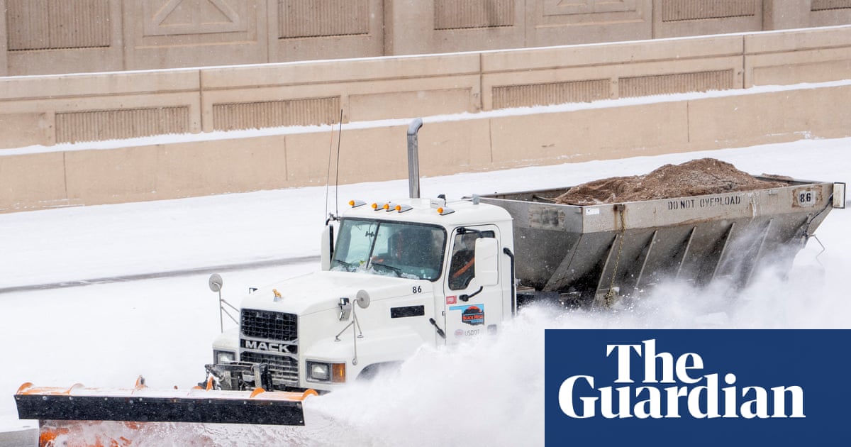
A major winter storm that began pushing across the United States on Saturday, January 24, 2026, expanded its footprint into Sunday, January 25, with officials warning that the system could bring a mix of heavy snow, sleet, and damaging ice from the Plains into the Midwest and beyond. The scale of the storm has driven a wave of state and local emergency measures, while families and businesses brace for hazardous roads, possible power outages, and prolonged disruptions.
Forecasters warned that ice accumulation in some areas could become particularly dangerous, increasing the risk that trees and power lines could come down under the weight. In several states, transportation agencies urged residents to avoid travel unless necessary, emphasizing that even short drives could become risky as conditions shift quickly from rain to freezing rain to snow.
The storm has also rippled into air travel and regional logistics. As airlines adjusted schedules and crews repositioned equipment, passengers faced delays and cancellations, while officials urged travelers to check conditions frequently and plan for lengthy interruptions. Public safety agencies highlighted that response times can slow when roads become impassable or when emergency crews must focus on widespread incidents at once.
Communities across the storm corridor prepared warming centers and advised residents to assemble basic supplies such as flashlights, blankets, and charging options in case of extended outages. Officials also reminded households with medical devices to confirm backup power plans, particularly in rural areas where restoration can take longer after ice events.
With temperatures fluctuating and precipitation types changing by the hour, forecasters said the most severe impacts could arrive in waves: an initial period of ice and sleet, followed by heavier snow bands and gusty winds. That pattern can complicate cleanup, as crews may not be able to fully clear roads or restore lines before the next round arrives.
Authorities urged residents to follow local alerts and avoid overconfidence based on conditions outside a window at a single moment. A road that looks wet can freeze rapidly as temperatures drop, and bridges and overpasses can ice first. Drivers who must travel were told to keep extra distance, reduce speed, and carry emergency supplies.
The system’s effects were expected to continue shifting east and north as the weekend progressed, with heavy snowfall totals possible in some regions. Emergency managers emphasized that the overall goal is to reduce accidents and keep roads open for essential traffic, including ambulances, utility crews, and public works teams.